USVI Beaches You Can Only Reach by Boat
The U.S. Virgin Islands is home to some of the best beaches on Earth, many of which only a few may ever see. That's because they are accessible only by water. That’s where an Island Roots Charters trip becomes your ticket to see these secret beaches.
If you've ever wanted to know what it feels like to pull up by boat to a secluded beach, wade ashore to find no footprints in the sand, where the reef just offshore has not been destroyed by the cruise boat crowds, and where swimming with sea turtles is almost a guarantee (because tourists haven't been chasing them), you'll want to keep reading. The bucket list beaches we’ll discuss below are an absolute must-see on visits to the USVI.
The North Shore Beaches
Scott Beach
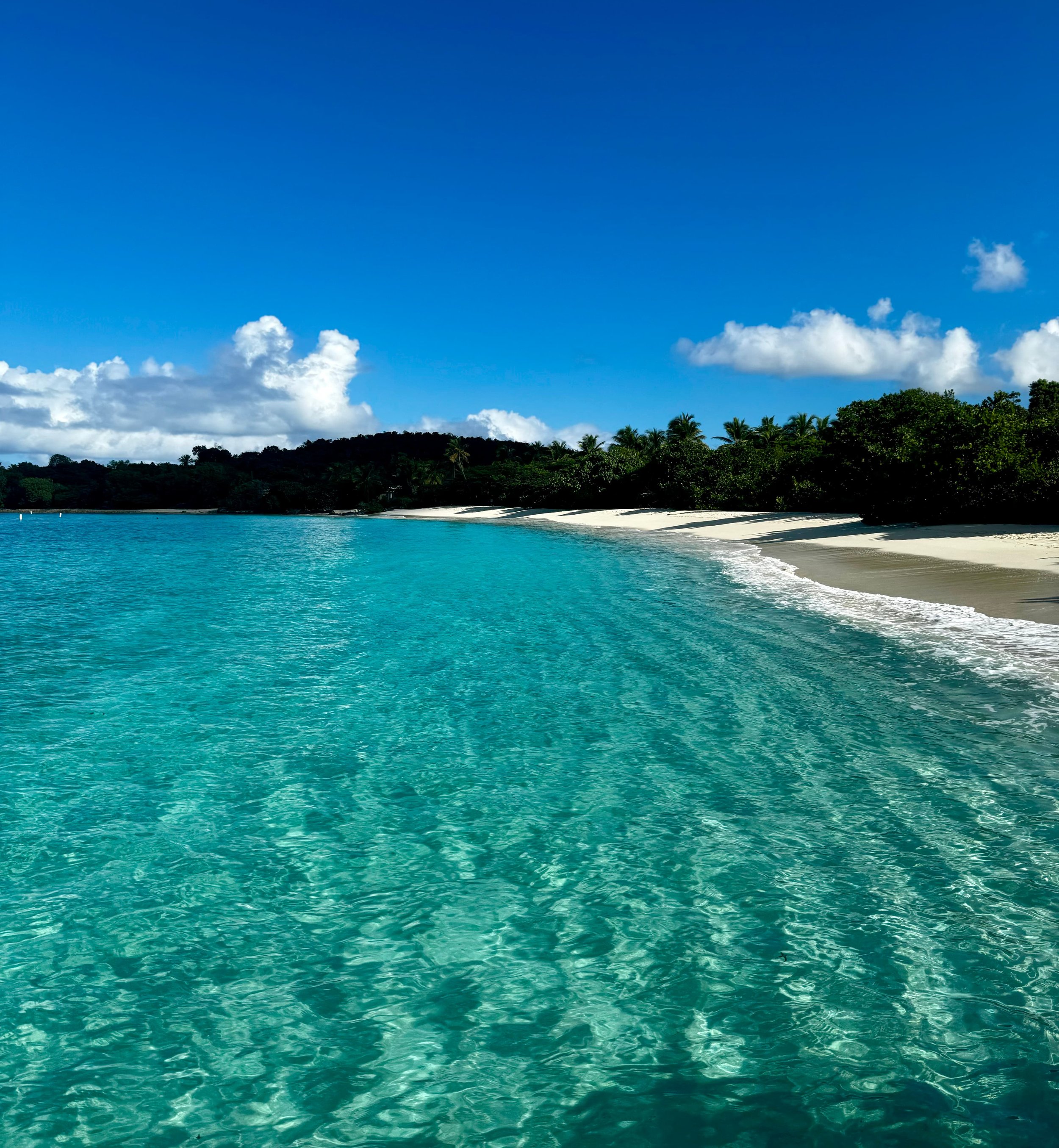
Image: Scott Beach, St. John — Credit: Island Roots Charters
Scott Beach could very well be the best-kept secret in St. John, and maybe even the Virgin Islands. It appears on Google Maps as a red pin a ways off shore, which makes it even more mysterious than if it were not there at all. When you zoom in, nothing comes up, just more blue, as if it’s a beach of the famous underwater city of Atlantis. It’s true location is actually midway along the western side of the Caneel Bay peninsula. Scott Beach is a long, soft strip of white sand that was once a private beach for guests of the now-closed-down Caneel Bay Resort.
The resort was unfortunately destroyed in the 2017 hurricanes, and Caneel Peninsula moved under the management of the National Park Service in April 2024. While the destruction is tragic, the only upside is that this shift now means the beach there is now permanently public.
Access is still limited as cleanup continues, so arriving to Scott Beach by boat is by far the best way in. It sits within a protected cove that gets some nice early-morning sun, with shade available under the sea grape trees. The sand there is soft and powdery. The sea entry is shallow, and the water is calm, which makes it one of the more relaxed beaches in the USVI. On some days, visitors might even get the entire stretch to themselves, making it an appealing place to visit.
Among the ruins of the resort are cottages that were destroyed, with their collapsed walls being wrapped in wild tropical growth.
The vegetation along the beach includes sea grapes, gumbo-limbo trees, and manchineel (avoid this one; the fruit and sap are toxic). Pelicans and frigatebirds are known to ride the thermals above the ridge.
There is also a good snorkeling spot right out by the rocky outcroppings along the shore where swimmers can float by the coral reef and see a variety of tropical fish. Watch where you step because the sea grass beds directly in front of the beach are where turtles and stingrays live. It’s easy to spot half a dozen sea turtles in a single snorkel session here, especially since the water is usually clear.
This beach is family and kid friendly, but there are no facilities of any kind here.
Turtle Bay
Just north of Scott Beach is Turtle Bay, which was featured in Sports Illustrated's 2015 swimsuit issue. This tells you something about how gorgeous it is, with its crescent of sand against a backdrop of dense tropical foliage. The water contrast is notable too, shifting from island turquoise to a deep blue as the bay opens into the Atlantic Ocean.
The biggest difference between Scott Beach vs. Turtle Bay is that the later faces the Atlantic, meaning more wind and waves, especially boating out toward the open water. Staying towards the center and left side of the bay is best for most swimmers, whereas the outer rocks are better left to experienced snorkelers who can fight some current. Both beaches are boat-only access, and part of the former Caneel Bay Resort grounds.
Little Maho
Little Maho feels like it’s own little place, lost in time, when in actuality exists in a narrow pocket of sand between St. John's two more popular beaches: Maho Bay to the west and Francis Bay to the east. What makes it only accessible by boat are the private property lines blocking public access. But, by charter boat we can pull right up to a beautiful beach that feels private. This little crescent of soft sand by the sea feels completely different than the nearby busier beaches.
This is the perfect place to include in your St. John charter trip as a picnic stop or as midday stop. There’s some good snorkeling nearby, off the eastern shoreline that runs through shallow patch reefs in 3 to 10 feet of water. What you might see snorkeling among the purple sea fans, sponges, brain corals, elkhorn, and fire coral are: wrasse, damselfish, tangs, parrotfish, and angelfish.
Little Cinnamon
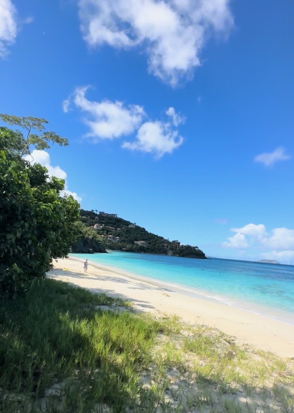
Image: Little Cinnamon Beach, St. John — Credit: Island Roots Charters
Little Cinnamon Beach is located east of the main Cinnamon Bay Beach, and separated from it by a rocky point. It is cut off from public land access by the Peter Bay private estate. What makes this beach unique is that when arriving by charter boat, we pull up and the first thing guests see is a palm-fringed strip of white sand.
The snorkeling here is unique too because in about eight feet of water off the eastern end of the beach, there lies the remains of a small plane that crashed years ago. The propeller, engine block, and a wing are visible giving it a real life Gilligan’s Island or Blue Lagoon feel, where it’s easy to imagine yourself marooned at a beach no one else knows about. The nearby reef toward main Cinnamon Bay has a lot of marine life to see in good visibility on calm sea days. The bay waters can get choppy, which is where it’s important to have a captain who can read the water and advise accordingly.
Mermaid’s Chair Beach
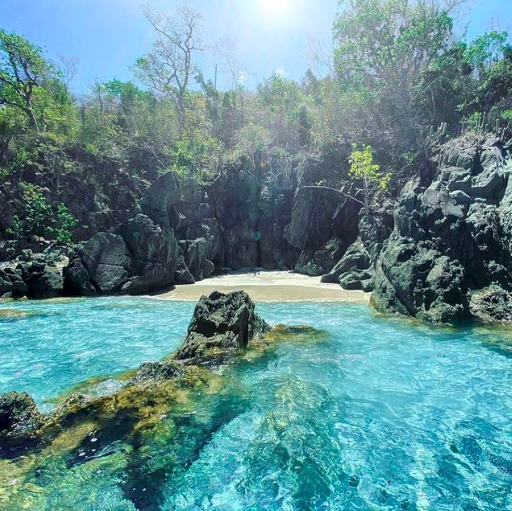
Image: Mermaid’s Chair Beach, St. John — Credit: Island Roots Charters
Mermaid’s Chair Beach is located in Hawksnest Bay, St. John (not the Mermaid’s Chair in St. Thomas). It is thought to be the smallest beach in the Virgin Islands. Named after the big rock there that looks like a chair, this beach has also been referred to as Two Butt Beach as a joke insinuating that it’s only big enough for two people. This little beach isn’t even on the map, and while visitors could technically snorkel there if they could find it, the only practical way to access it is by boat.
The East End
Beaches of Hansen Bay
By sea, Hansen Bay faces south and is tucked into the island's east end in a way that blocks most of waves, giving it a calm demeanor that makes it one of the most protected swimming areas on all of St. John. There are two beaches in Hansen Bay: Vie’s Beach & Hansen Beach.
Looking from the water, Vie's Beach, is on the left. This beach was named after Ms. Vie who ran the Snack Shack here for years. Some locals swear they can still smell the garlic fried chicken and johnny cakes that she used to serve under the big boxwood trees, but alas only the name remains as a sentimental nod to this local chef who retired back in 2016.
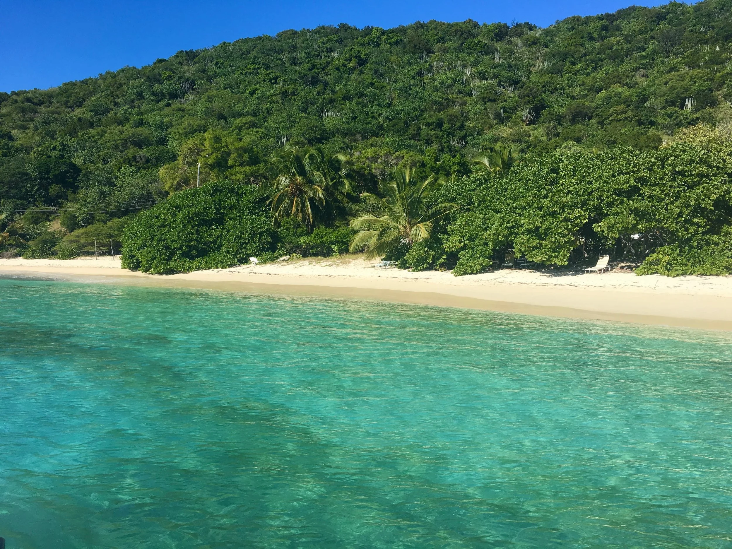
Image: Vie’s Beach, St. John — Credit: Island Roots Charters
Looking from the water, the beach on the right is Hansen Beach, which tourists can drive to and pay a parking fee to enter.
These are two of the best beaches for groups with young children or less capable swimmers. Both are classic Caribbean beaches with thick sea grape canopies, old boxwood trees, and hermit crabs scurrying all over the sand.
For snorkeling, go toward the western point where there is a rocky structure with coral fans, fish life, and the endangered staghorn coral making an appearance. Across the small bay is a larger patch reef with more diversity. Turtles, rays, jacks and pompano might all swim by to say hi.
Hurricane Hole (Otter Creek Beach)
Hurricane Hole sits on St. John's southeastern coast, just east of Coral Bay. It is considered part of the Virgin Islands Coral Reef National Monument, and is one of the most ecologically important places in the entire USVI. Its name comes from the fact that it has for centuries been a storm refuge for boat captains because of its mangrove-lined bays. Otter Creek Beach is the main beach here, which is a small strip of white sand backdropped by the mangroves that define this whole area. The water is a glassy protected cove of clear turquoise with mangrove roots climbing down into the depths from all sides. Anchoring is not allowed here, so the captain uses the day-use mooring buoys.
Over 30 species of hard coral grow directly on the prop roots of the red mangrove trees. No where else has this variety. It’s because the mangrove canopy provides shade that reduces the thermal stress that is causing coral to bleach elsewhere in the USVI. These reefs also survived the 2005 and 2006 bleaching events that devastated St. John's outer reefs. Snorkeling here you might see barracuda, trunkfish, snapper, stingrays, queen conch, and starfish.
Hurricane Hole is remote and the route there can be a bit rough. Our captains know whether the trip makes sense on any given day. When it is right, this is one of the most memorable places you can go in the USVI. Make sure to bring long-sleeved rash guards as the no-see-ums that near the mangroves always love bare arms for dinner.
Cays
Henley Cay
Henley Cay is an 11-acre cay, located less than half a mile off St. John's northwest corner, in the Durloe Channel between St. John and St. Thomas. Crossing the Durloe Channel to get to Henley Cay requires either a grueling 30-minute kayak paddle, which is why the best way is by charter boat.
The western side of the cay has a small sandy cove where your captain can anchor, and the snorkeling that begins right off that cove is extraordinary. The Durloe Channel current pushes a constant stream of nutrient-rich water that feeds the coral in a way that most sites in the USVI simply don't get. The result of that nutrient flow is forests of gorgonians and sea fans that are so dense that they look cultivated. You can see brain corals, fire coral, and elkhorn here, as well as red, yellow, green, and blue sponges. Nurse sharks are almost always resting on the sandy bottom here. There is also a rare blue encrusting hard coral and geometric black-and-white tunicates that are almost never seen elsewhere in the Virgin Islands.
You can also see another plane wreck here, where Marine Commandant Roger Humphrey's son crashed his plane into the cay during an acrobatic maneuver.
Pro snorkeling tips for this area: stick to the protected western cove and shallower reef areas, always snorkel with a buddy, and let your captain know your swimming ability before diving in.
Crescent Beach, Lovango Cay
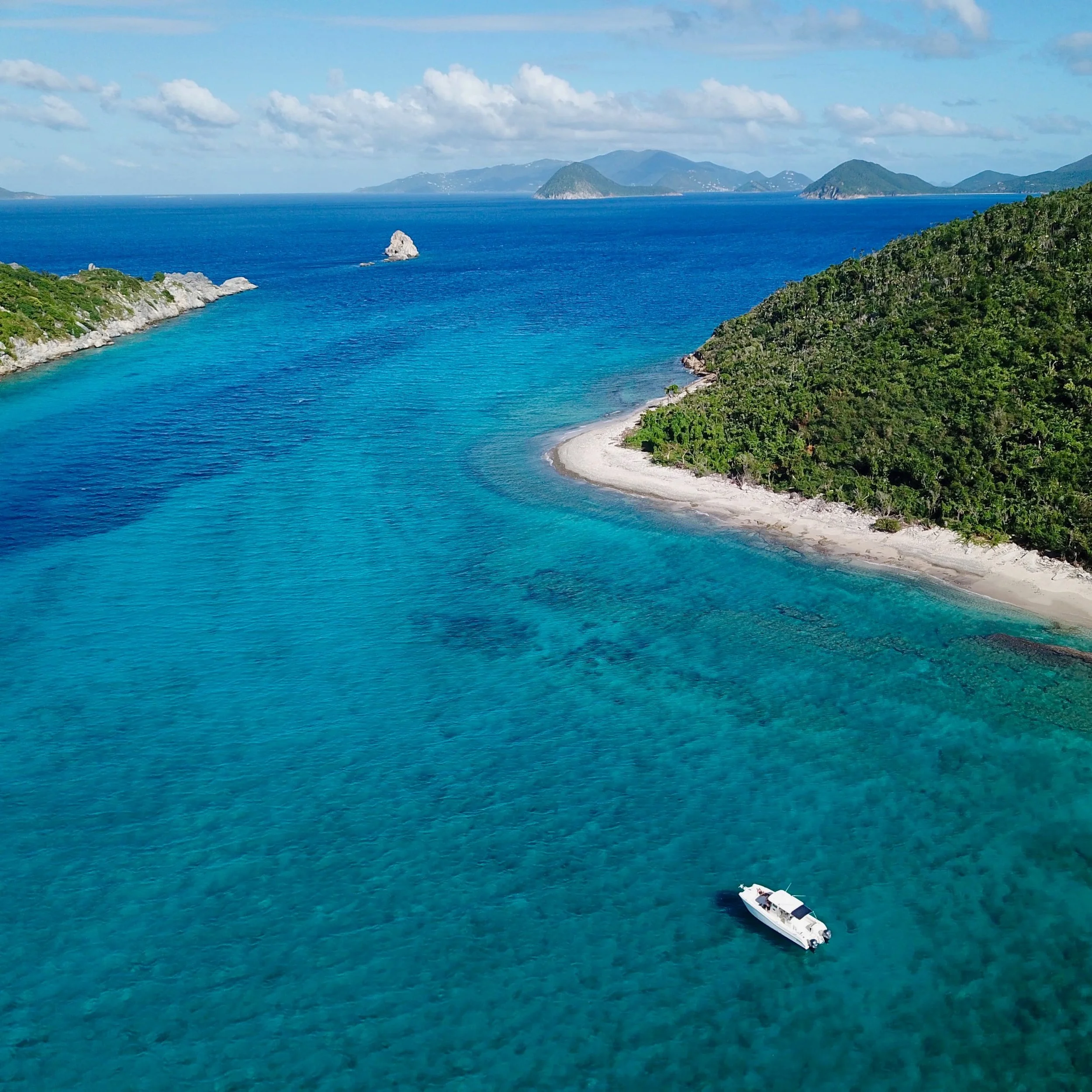
Image: Crescent Beach, St. John — Credit: Island Roots Charters
Lovango Cay is a 118-acre private island a 10-minute charter boat ride northwest of Cruz Bay. Most people who visit spend their time at the Lovango Resort and Beach Club on the south side, but the secret beach on Lovango is Crescent Beach on the north side. It can only be reached by hiking a 20-minute trail from the resort or by pulling a boat directly into the protected northern cove, which is where we come in.
Snorkeling around here is described as feeling like a private aquarium, where nurse sharks, octopus, sea turtles and eel are common. The coral reefs along this side of the cay are among the best in USVI territory.
Little known fact: J. Robert Oppenheimer's (father of the atomic bomb) ashes were scatteredd in the waters near Lovango Cay, per his wishes. He had a home on St. John.
Hans Lollick
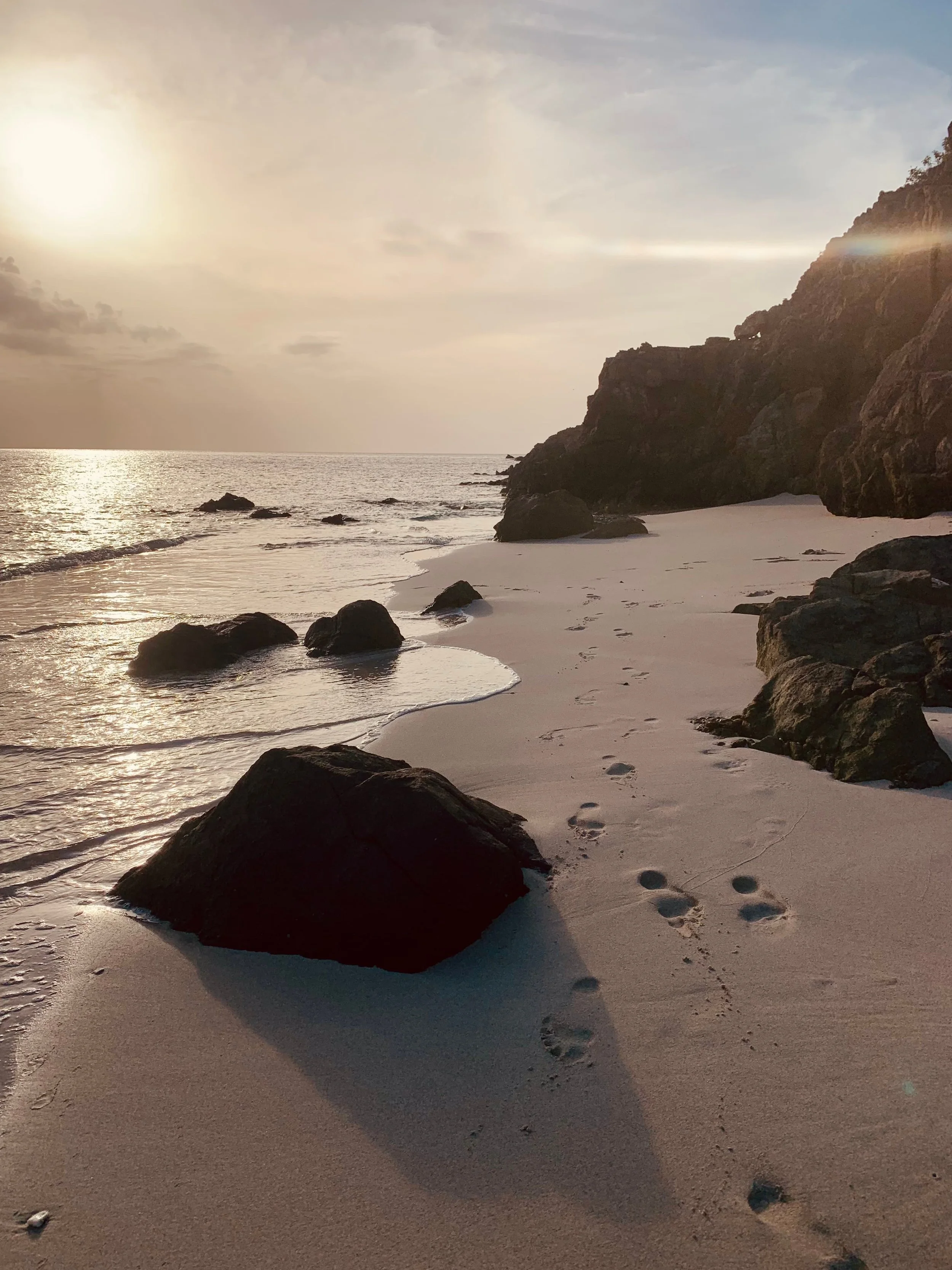
Image: Hans Lollick Beach, St. Thomas — Credit: Island Roots Charters
Visiting Hans Lollick is like time traveling back a few centuries. The island sits off of the north coast of St. Thomas and is privately owned, but the beaches are public up to the high-water line in the USVI, which makes this one only accessible to the public by boat. This beach is wide, white, and usually completely empty except for the goats and wild donkeys who have been roaming the area for decades. There are no roads or ferry to get here. The passage from St. John around the north side of St. Thomas is longer and usually choppier than most USVI day charter routes, but it’s worth checking out.
The beach at Coconut Bay on the south side is the main landing spot, where from there some great snorkeling is available in the channel between Great and Little Hans Lollick on the north side. You might see sea turtles, rays, and large schools of fish here, along with the scattered ruins of 18-19th century cotton plantation.
A Special Case
Reef Bay Beach
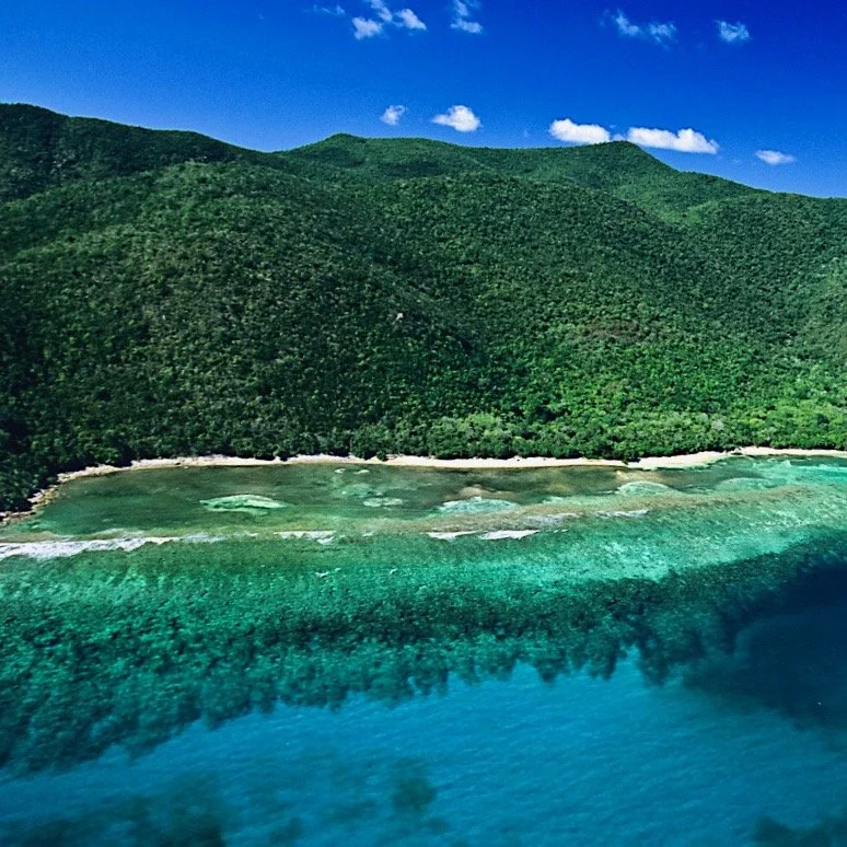
Image: Reef Bay Beach, St. John — Credit: Island Roots Charters
Reef Bay Beach is the reward you get at the bottom of St. John's most popular hiking trail. The Reef Bay Trail drops nearly 900 feet through tropical forest and past sugar mill ruins before reaching this isolated south shore beach. The 6 mile round trip is steep and demanding, which makes this a beach that is technically reachable by land, not practical for everyone, which is why we’re including it as a special case as most people would rather access Reef Bay by boat.
When sea conditions are right, Island Roots Charters offers an amazing drift snorkel over the reef ledge that runs along the beach there.
This beach is narrow and pebbly with the remains of the Reef Bay Sugar Mill visible nearby, one of the best-preserved historical plantations on St. John.
From the beach, there’s the Petroglyph Spur Trail leads that lead to ancient Taino rock carvings of faces and totemic symbols that the Zemis carved — 900-1500 AD — into the blue basalt rock.
Book Today
Take a St. John charter boat trip with Island Roots to the beaches others never have the chance to see. Our captains know all of the secret spots, and best things to see and do.